Doing your part to flatten the curve can be boring. But since there isn’t much else to do while staying at home, it can be a great time to learn some new skills to add to your geospatial toolkit.
I would especially recommend exploring some of the technologies peripheral to GIS / Remote Sensing software that are increasingly needed by geospatial professionals but may not be well covered in required courses due to time constraints such as CAD, JavaScript, or relational databases. Or perhaps you would prefer to learn about the new exciting technologies you keep hearing about like deep learning, cloud computing, or 3D scanning. And you already know you could use some more practice in Python.
We’re going to use this page to collect some of the best resources out there for learning, practicing and experimenting with geographic technologies. Everything listed here is also completely free for UT students. We plan to keep adding to this list so if you have any additions send them on in.
LinkedIn Learning Courses
I know the immediate reaction to seeing the word LinkedIn is to ignore it, but the site formerly called Lynda.com actually has a impressive amount of quality content both for software training and self-paced courses on general skill development. The UT subscription means all courses are free for students/faculty/staff and you don’t need to add people you don’t know to your “professional network” or even have a LinkedIn account at all.
- Learning QGIS
- Learning ArcGIS Python Scripting
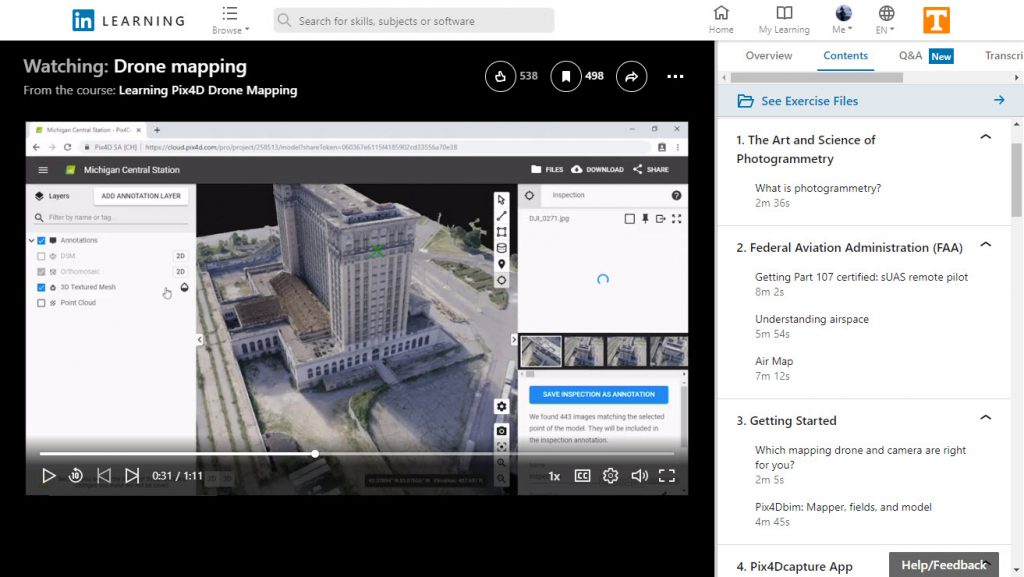
- Learning Pix4D Drone Mapping
- Cert Prep FAA 107 Commercial Drone License
- Faro Scene 3D Laser Scan Registration
- Illustrator 2020 One-on-One: Fundamentals
- Drawing Simplified Maps in Illustrator
- AutoCAD 2021 Essential Training
- AutoCAD Map 3D 2021 Essential Training
- ReCap Workflow for Reality Capture
- Revit: Using Point Cloud Data
- Programming Foundations: Databases
- Microsoft SQL Server 2019 Essential Training
- Coding for Visual Learners: Learning JavaScript from Scratch
- Data Dashboards in Power BI
- Learning Data Visualization with D3.js
- Introduction to Data Science
- Machine Learning and AI Foundations: Classification Modeling
- Project Management Simplified
Participate in a MOOC
A Massive Open Online Course (MOOC) is an online course usually facilitated by live instructors that is able to be offered free to anyone due to large scale. Many courses on the leading MOOC platforms such as Coursera or EdX are designed with content from well known academic or professional experts in their fields. Even ESRI offeres MOOCs. Some MOOC courses starting soon that may be of interest include:
- The Data Scientist’s Toolbox on Coursera starting 31 Mar 2020
- Imagery, Automation, and Applications on Coursera starting 31 Mar
- GIS Data Formats, Design and Quality on Coursera starting 31 Mar
- Spatial Analysis and Satellite Imagery in a GIS on Coursera 31 Mar
- Writing in the Sciences on Coursera starting 13 Apr 2020
- Our Earth’s Future on Coursera starting 31 Mar 2020
- Computer Vision and Image Analysis on EdX starting 1 Apr
- Data Science Research Methods: Python Edition EdX starting 1 Apr
- Querying Data with Transact-SQL on EdX starting 1 Apr\
- Cartography by ESRI starting 22 Apr 2020 – recommended!
- The Location Advantage by ESRI starting 6 May 2020
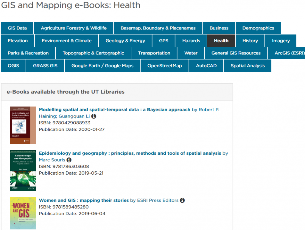
eBooks from UTK Libraries
The University Libraries has recently updated their guide to GIS and Mapping e-books. The extensive list of remotely available publications is organized by topics including GIS applications in health, data visualization guides and tutorials for ESRI, QGIS and AutoCAD software.
ESRI Training Courses
All non-instructor led courses and training content in the ESRI Academy site and Learn ArcGIS can be accessed for free with your UT connected ESRI account.
Microsoft Azure Education
Sign up with your UTK account to access full versions of Microsoft software (including Windows Server, SQL Server, and Visual Studio), Azure cloud service credits for virtual machines or databases and learning modules all for free.
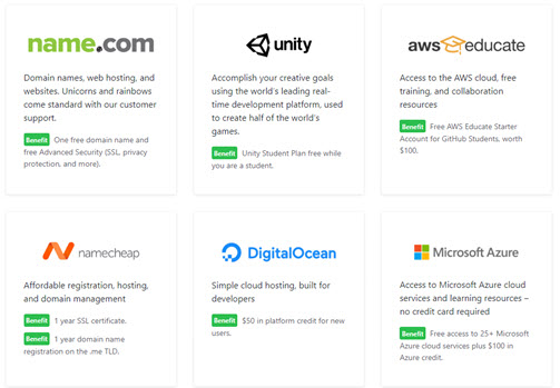
GitHub Education Pack
Students or teachers can register for an assortment of free services and software including web hosting, domain names, professional development tools, and hundreds of dollars worth of cloud credits in AWS, Azure and MongoDB.