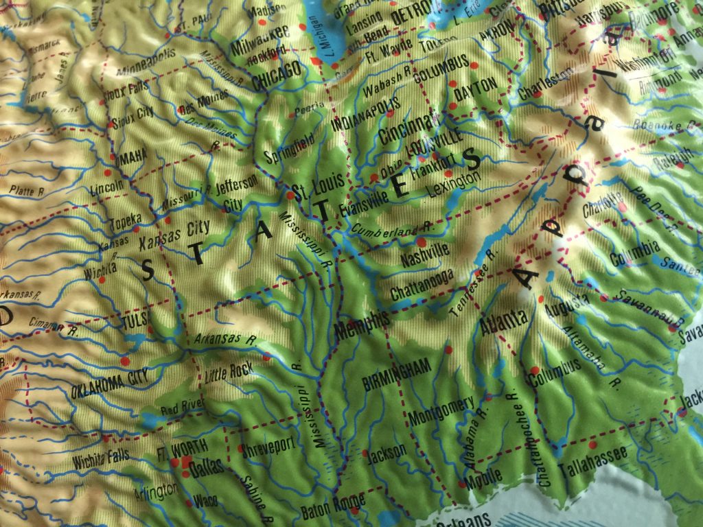
Here in the GIS Lab we strive to provide geospatial education, outreach, and services to our campus and our community. This includes everything from providing K-12 teacher inservice opportunities to teaching 3rd graders about topography and map reading using our Augmented Reality Sandbox. We are always looking for community partners to help us develop and deliver engaging geospatial opportunities across our community.
Primary Audiences Served
- K-12 Students
- K-12 Teachers
- Higher Education
- Professional Partners
- General Public
To learn about what type of events we host, please review the links below. interactive annual report from 2017. To see what we are up to in 2019, check out our Outreach Dashboard.
Outreach Dashboards
Outreach Annual Reports
- 2018 (January 2019)
- 2017
Follow these links if you’d like to learn more about our augmented reality sandbox, our SimTable, our DIY Stream Table, or our partnership with Mapillary to collect open source streetview style imagery.
Contact our GIS Outreach Coordinator.