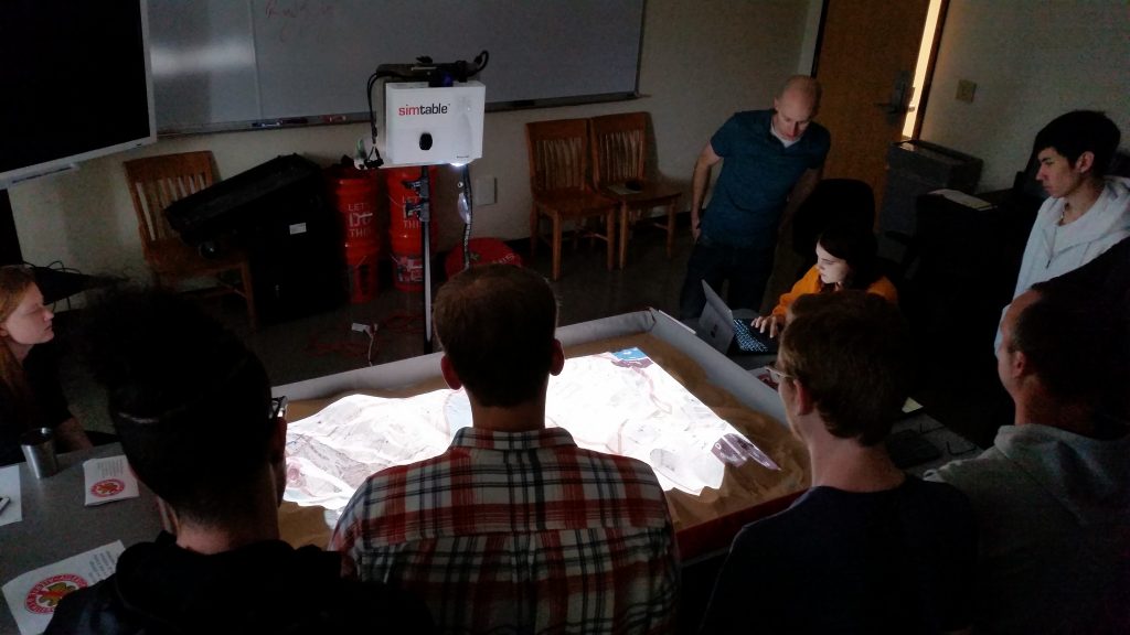
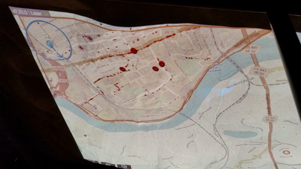
Students in Dr. Kim’s Transportation GIS course used the augmented reality SimTable to model transportation systems and natural hazards. We practiced building evacuation areas in Gatlinburg to simulate wildfire related transportation needs.
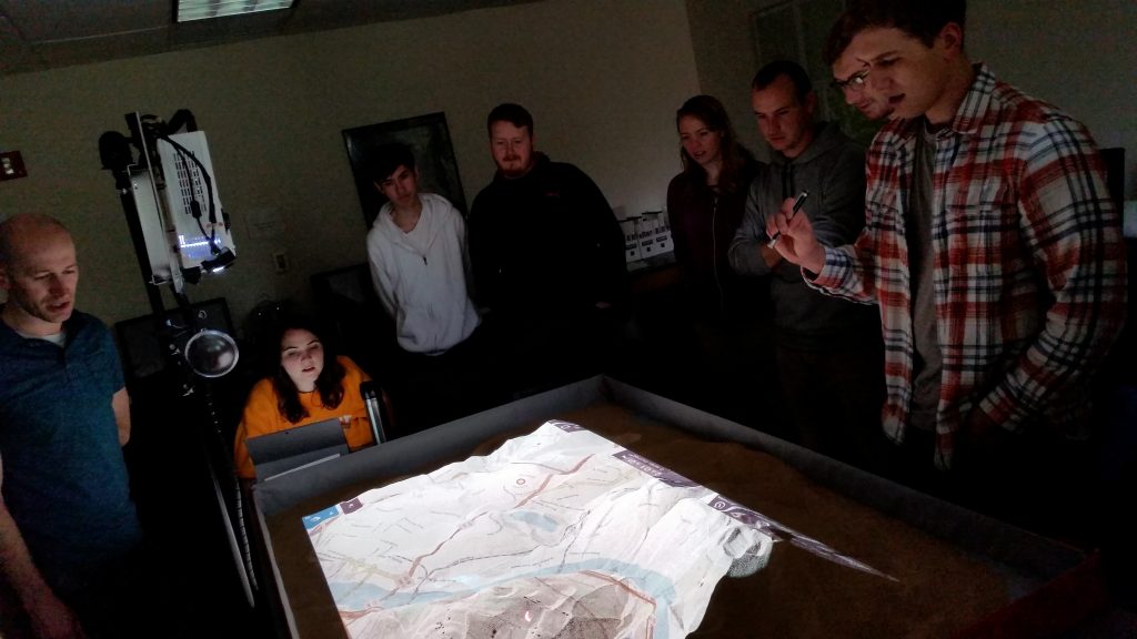
Students in Dr. Kim’s Transportation GIS course used the augmented reality SimTable to model transportation systems and natural hazards. We practiced building evacuation areas in Gatlinburg to simulate wildfire related transportation needs.
The flagship campus of the University of Tennessee System and partner in the Tennessee Transfer Pathway.